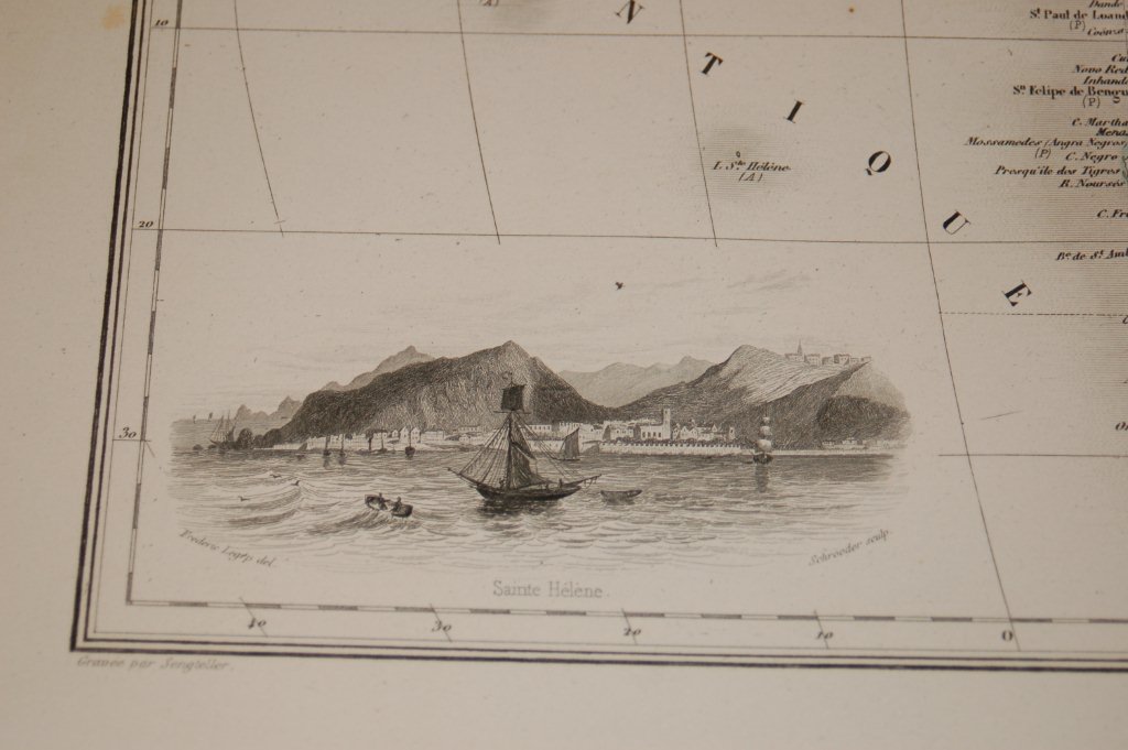
800.20 - Afrique, 1874, by J. Migeon, Paris
-
SOLD
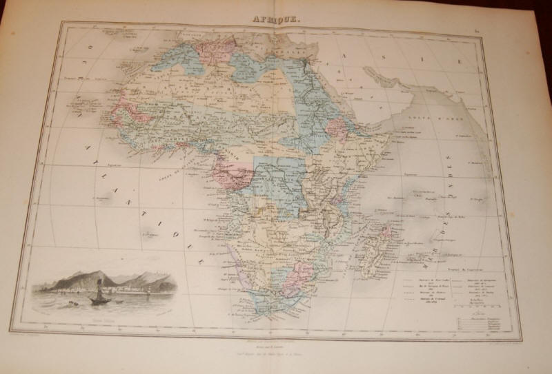
A decorative map from the Geographie Universelle Atlas, by Migeon. The map shows a view of Mount Saint Helene in the lower left corner. Engraved by Schroeder, 1870. Taken from one of the last decorative atlases of the 19th century, the map is in original color and rated Excellent [see our rating criteria on the Home Page]. It measures approximately ( 11.0″ x 15.0″ – 28 x 38 cm).