801.111 - Army Service Forces Manual “Atlas of the World Maps”, 1943, by Hoen & Company, Baltimore, Maryland
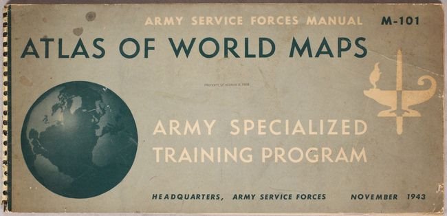
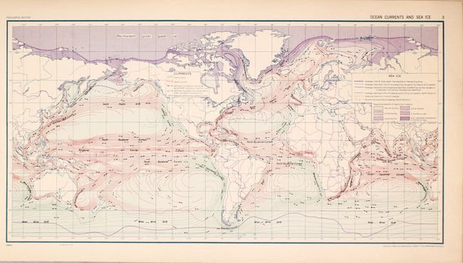
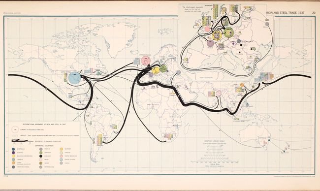
The Army Services Forces Manual (M-101) was specifically prepared for the use in the study of geography as part of the Army Specialized Training Program during WWII. There is 13 pages of text followed by 30 color plates that include maps that highlight land forms, climate, distribution of population, modes of transportation, and many more subjects. Published in November 1943 by the Office of the Geographer, Dept. of State. Includes a Library stamp of the previous owner, Herman R. Friis, noted geographer and retired official of the National Archives Center for Polar Archives. It measures approximately (22.3″ x 10.5″ – 56.6 x 26.7 cm). The atlas condition is rated Excellent [see our rating criteria on the Home Page]. Of note, light toning along the edges of the maps. The bottom rung of the spiral spine is missing and the back cover shows significant ware.