520.17 - Govvernemiet d’ Orleans, ca 1636, by unknown
$97.00
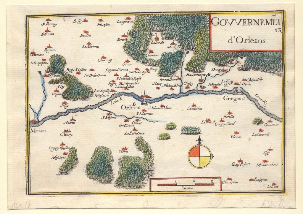
This small map from the 17th century was taken from an unknown publication. The map depicts the Loire River and the City of Orleans, France. Europe’s “30 year war” encompassed most of the region. Initially the war was between Protestant and Catholic states. It gradually developed into a more general conflict. Printed on laid , watermark paper, the map has been hand-colored from a copperplate impression. Small towns and villages have been highlighted. A distance scale and compass rose is noted. The print is rated Excellent with no apparent flaws [see our rating criteria on the Home Page]. It measures approximately (7.5″ x 5.7″ – 19.3 x 15.0 cm).
($8.50 shipping / handling / ins. - foreign postage addnl.)