120.39 - Carte pour Servir a l' Histoire Philosophique et Politique des Etablissemens et du Commerce des Europeens dans les deux Indes, c 1775, by Rigobert Bonne, Paris
$130.00
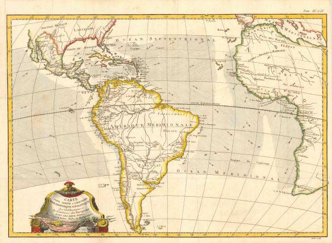
This map is centered on South America and includes nearly half of Africa, the southern portion of North America and the West Indies. Ocean currents are depicted and a very lovely title cartouche completes the map in original color. The map is rated Very Good [see our rating criteria on the Home Page] with several faint spots noted otherwise in good condition and measures approximately (18.1″ x 12.7″).
($12.00 shipping / handling / ins. - foreign postage addnl.)