368.36 - California & Nevada, 1874, by Asher & Adams, New York
$80.00
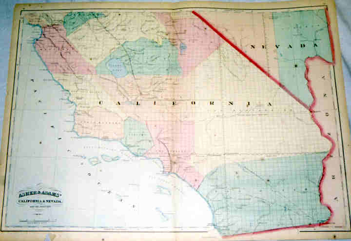
The map covers California from Santa Cruz and the Monterey Bay south to San Diego and east to the western portions of Nevada. The map is from the New Commercial, Topographical and Statistical …… Atlas of the United States. It is rated Very Good with one small tear at the lower left corner not intruding into the map which measures approximately (17.5″ x 23.4″).
($12.00 shipping / handling / ins. - foreign postage addnl.)