520.18 - Comitatus Hannonia Tabula, ca 1680 , Nicholas Visscher, Amsterdam
$289.00
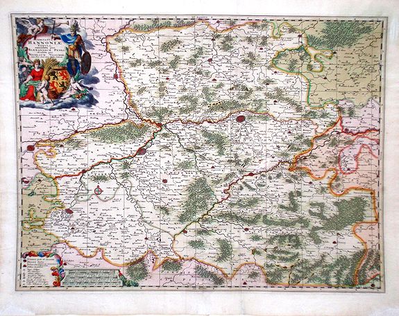
The map covers an area around the Belgian city of Mons on the southwest of Brussels to include northern France – Tournai, Charleroi, Maubeuge and Valenciennes. A very detailed figurative cartouche and milage scale complete the map in original color. It is rated Very Good with some loss of paper and the bottom right and left outside the neatline (2 cm) that has been repaired. The map measures approximately (22.8 ‘½ x 18.1″ – 58.0 x 46.0 cm).
($12.00 shipping / handling / ins. - foreign postage addnl.)