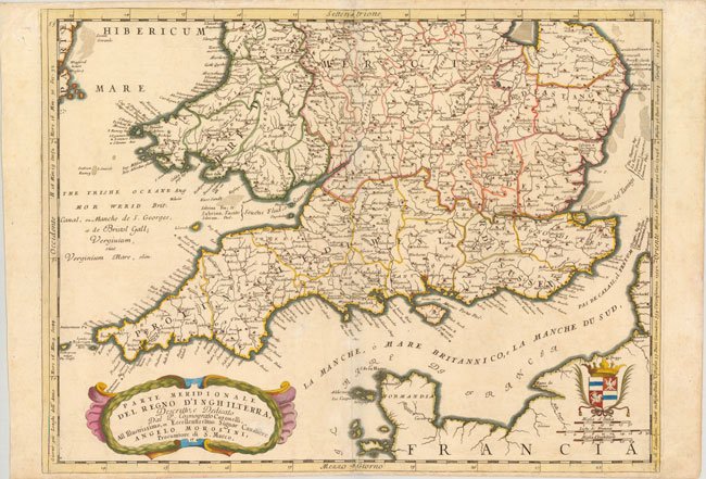
530.30 - Parte Septentrionale del Regno d’Inghilterra, ca 1691 (in two sections), by Vincenzo Coronelli, Venice
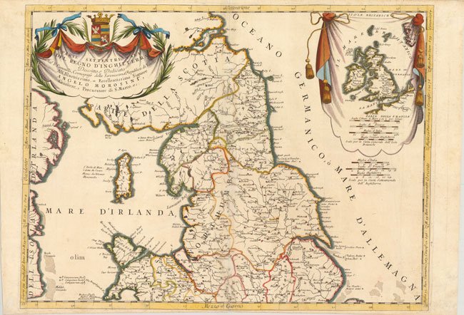
Father Coronelli, cosmographer to the Republic of Italy, globe-maker, and publisher; produced 400 maps to include this very beautifully engraved map of England and Wales. The map is in two sections each with an elaborate cartouche and coat-of-arms. Very detailed topographic and geographic information is given. Counties, towns, waterways, and islands, such as the Isle of man are shown in detail. Political boundaries are grouped into the seven ancient Anglo-Saxon kingdoms. An insert at the top right within the decorative cartouche portrays the whole of the British Isles with a distance scale shown. The map, in later color, is rated Excellent [see our rating criteria on the Home Page] with a centerfold archival tape repair of several small tears noted. The map measures approximately (24″ x 18″ – 61.0 x 45.8 cm each section; overall joined = (35.5″ x 24.5″ – 90.0 x 62.0 cm).