700.10 - Mappe -monde ou Carte Generale .., c 1795 , by Robert de Vaugondy, Paris
$240.00
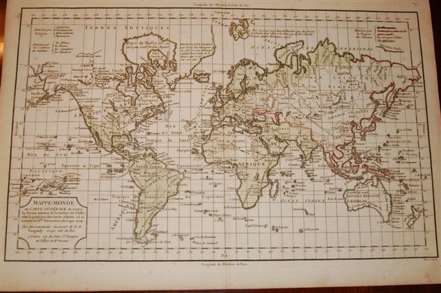
A beautiful map produced at the end of the 18th century reflecting the political boundaries of Europe affected by the various wars of the continent. Very detailed geographic data are given as well interesting religious boundaries with the continents defined by a color scale. The map is rated Very Good with no apparent flaws and measures approximately (11.3″ x 17.5″).
($12.00 shipping / handling / ins. - foreign postage addnl.)