82.20 - Yangtze River / Honshu (CL306/307)
$60.00
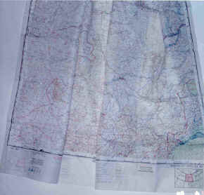
published by the USAF, Aeronautical Chart Service, Washington, D.C.; May 1951 (41.0″ x 38.0″); some staining outside the neatline with tape marks top left/right outside neatline. Appears to have been used as a planning map.
($9.00 shipping / handling / ins. - foreign postage addnl.)