Antique Maps for Sale
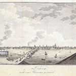
A very detailed decorative bird’s eye view of London at the end of the 18th century with a carriage in the foreground and prominent buildings depicted; including St. James Church….
Read More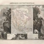
This beautifully engraved map is one of the more sought-after issues by Levasseur. It shows North America with the Republic of Texas named within Mexico and the northern U.S. border…
Read More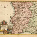
A detailed map of Portugal with excellent topographic and political information. An elaborate title cartouche with the crown and shield, ships, fishing, and traders surrounding the title. The map includes…
Read More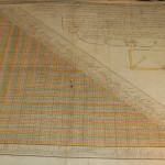
An unusual thematic chart which depicts the traveling distances from various European cities. The very detailed text and graphic arrangement is still used today with many travel guides The design…
Read More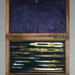
A twelve piece set of brass and steel drawing instruments with lift-out tray. Top tray includes: 6 1/2″ proportional dividers – with rack movement; 6 1/4″ compass with 5 interchangeable…
Read More
A very lovely velvet-lined mahogany case approximately 7 3/4″ long , 3 3/4″ wide and 1 1/4″ high. A silver name plate is noted on the lid. A lift out…
Read More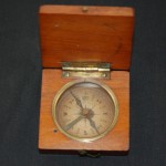
This unique pocket travel compass approximately 2 ‘ ‘ square in an oak box with a latching lid is in working condition. The compass needle locks in place when the…
Read More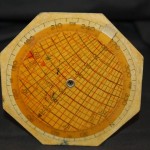
This instrument was used to scale distances on aeronautical charts in the 1950’s. It would also calculate air speeds based on miles as shown on the verso of the scale. …
Read More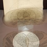
The Star Finder scale comes with 7 individual clear plastic scales that fit over the accompanying star chart. Used by pilots in air navigation, the scale has a leather slip-jacket…
Read More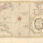
This is the Dutch edition (Van Schley) depicting the Atlantic Ocean. The chart is one of the earliest editions of the Atlantic basin that displays accurate information in beautiful detail…
Read More